Which lunar ridge orientation can keep a lander in sunlight for the longest continuous interval?
01 // Question
How does turning one ridge relative to a low, moving Sun change the uninterrupted light window at a fixed model lander point?
This classroom model tests line-of-sight shadows only. It cannot identify the best real lunar site or predict solar-array power, lunar seasons, landing safety or communication availability.
02 // Variables
Independent
Orientation of the same ridge model relative to the lamp's azimuth path- ridge axis north–south
- east–west
- northeast–southwest
- northwest–southeast
Dependent
Longest uninterrupted sequence of illuminated samples at the marked lander point- number of consecutive lit positions out of 16
- total lit positions out of 16
- whether any lit window is interrupted
03 // Hypothesis
IF the same ridge is rotated relative to a fixed low-angle lamp path, THEN the marked point's longest uninterrupted lit interval may change, BECAUSE the ridge blocks different portions of the lamp's path as its orientation changes, although the model represents only a simplified local horizon.
04 // Procedure
1. Build one repeatable ridge and lander point
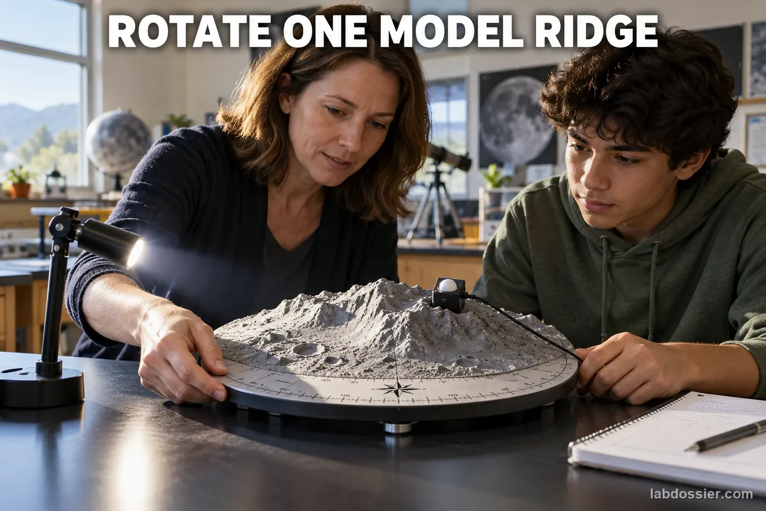
Use one fixed gray terrain model or a sculpted ridge on a turntable. Mark one lander point on the same ridge top and place a small card or light sensor there. Keep a compass rose around the turntable. Do not rebuild the ridge between orientations; only rotate the same model.
2. Set one low, steady light path
Use a cool LED lamp secured at a fixed low elevation above the model. Mark 16 equally spaced lamp azimuth positions around a circular track; keep the lamp-to-center distance and height unchanged. Reduce room light and choose one visible-light threshold before collecting data. Never use sunlight, lasers, hot lamps or concentrated optics.
3. Test four ridge orientations
Rotate the terrain so its main ridge axis points north–south, east–west, northeast–southwest and northwest–southeast. For each orientation, move the lamp through all 16 marked positions in the same direction and record lit or shadowed at the marked point. Return the model to the same starting mark and repeat the full sweep a second time.
4. Count continuous windows, not just totals
For each sweep, count the total lit positions and the longest unbroken run of lit positions, including a run that wraps from position 16 back to position 1. Keep the individual samples; two orientations can have the same total light but different blackout gaps. If the sensor value is near the chosen threshold, mark it uncertain and repeat under the rule chosen in advance.
5. Compare with NASA's measured terrain products
NASA's LOLA team models solar illumination using high-precision lunar elevation data across long time spans. Its 18.6-year averages help identify candidate locations, but NASA says shorter intervals, higher resolution and height above the surface need additional analysis. A current high-resolution site study reports that Site 1 has the most area above 70% average illumination at 1 m for its Jan. 2024–Jan. 2026 window, while continuous-light rankings can differ at 5 m. These are site- and interval-specific findings, not a universal winner.
6. Name the unmodeled mission constraints
Real south-polar illumination varies with season and mission epoch; NASA's Artemis III update says peak conditions shift roughly 2–3 weeks each year. A mission also needs safe terrain, communications, power storage and thermal control. This room model does not reproduce lunar orbit, 18.6-year nutation, array tilt or tracking, slope hazards, Earth visibility, solar-cell efficiency or local regolith.
Materials // Prepare the bench
- stable turntable with one gray ridge terrain model
- compass rose marked with four ridge-axis orientations
- cool LED lamp on a fixed arm or measured circular track
- small light sensor or phone lux app
- ruler, masking tape, timer and raw-data sheet
05 // Data table
| Ridge axis | Sweep | Lit positions / 16 | Longest continuous lit run | Positions in run | Uncertain samples / notes |
|---|---|---|---|---|---|
| N–S | 1 | ||||
| N–S | 2 | ||||
| E–W | 1 | ||||
| E–W | 2 | ||||
| NE–SW | 1 | ||||
| NE–SW | 2 | ||||
| NW–SE | 1 | ||||
| NW–SE | 2 |
The classroom model and lunar site analysis answer different questions
| Question | Classroom light sweep | NASA lunar analysis |
|---|---|---|
| Terrain | One fixed tabletop ridge | LOLA elevation data and site-specific terrain models |
| Sun path | 16 evenly spaced lamp azimuths at one fixed low elevation | Time-dependent solar ephemeris across chosen mission dates or long cycles |
| Height | One marked model lander point | Surface and elevated points; high-resolution products assess height uncertainty |
| Result | Relative count of lit positions and longest run | Illumination fraction and continuous-dark/light windows for stated time periods |
| Decision | Which orientation wins in this model sweep? | Balance illumination with slope, terrain safety, communications and mission timing |
06 // What to expect
The best model orientation depends on the ridge shape, lamp path and marked point; there is no predetermined correct winner for every model.
Total lit positions and the longest continuous run can rank orientations differently because a few short dark gaps may split the window.
NASA site rankings are specific to the terrain product, elevation, modeled dates and mission constraints. An average illumination percentage alone does not establish uninterrupted sunlight or mission suitability.
07 // Lab notes
- Treat any light-sensor threshold as a classroom rule for this lamp, not as lunar solar-array output or an engineering power threshold.
- A long-term average can conceal short outages. Report the modeled interval and continuous-run metric separately from the average illumination fraction.
- NASA's current candidate-region update evaluates illumination together with seasonal timing, safe terrain, communication and mission availability; do not claim a best site based on sunlight alone.
08 // Remember
A ridge's direction can change its shadow, but a simple lamp sweep cannot choose a real lunar landing site. Report total light and longest continuous light separately, then compare only against NASA products that state their terrain resolution, height and time window.
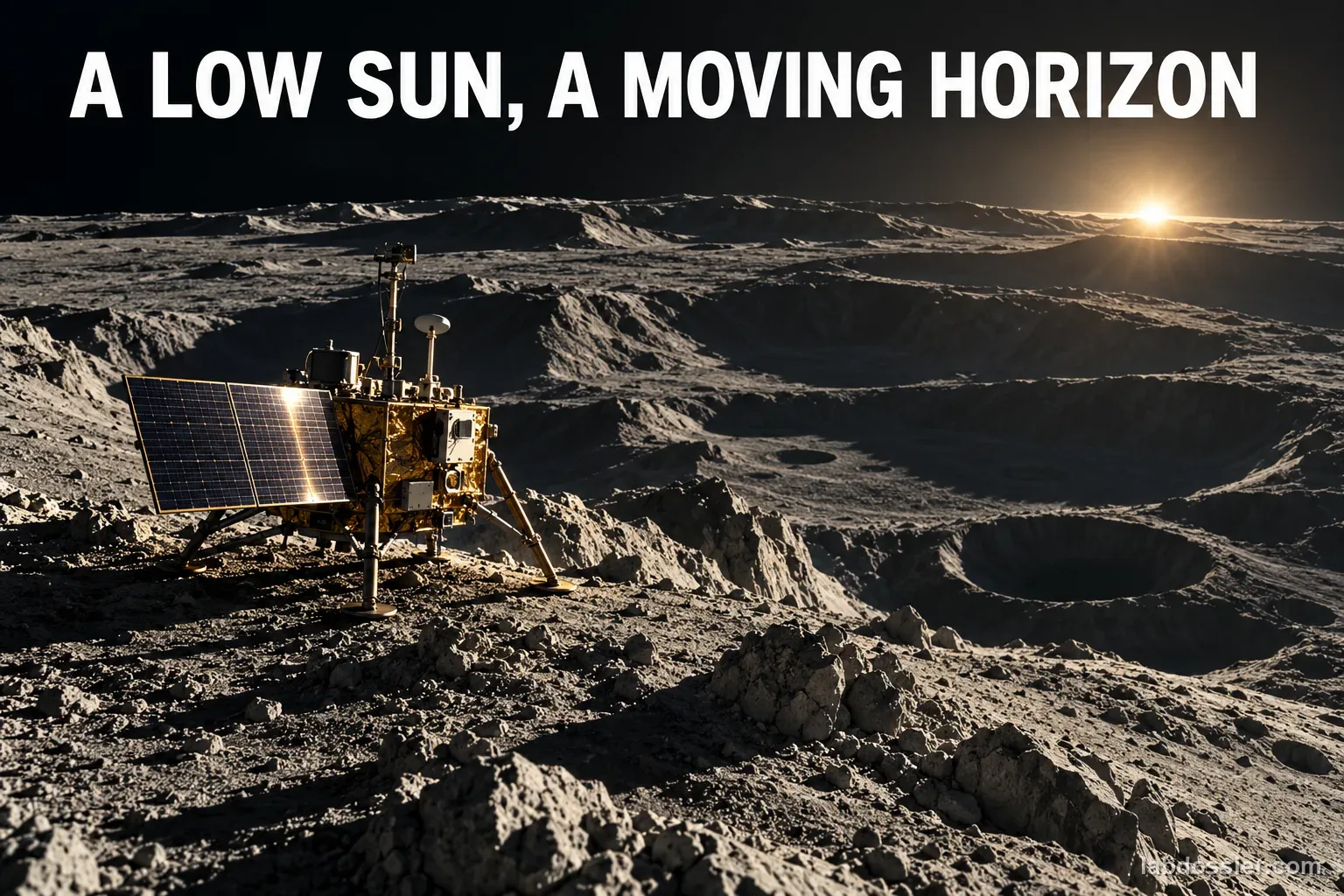
09 // A low Sun makes the horizon matter
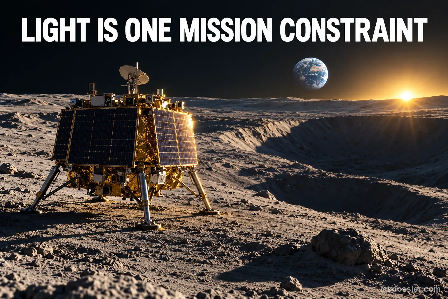
Near the lunar south pole, the Sun stays close to the horizon. A ridge can extend direct illumination at one point while the same ridge casts a long shadow somewhere else. NASA's current Moon environment reference describes extended-sunlight locations as opportunities for solar power, but also notes that long shadows can complicate power, navigation and surface operations.
The path of sunlight changes with local topography and time. A location that has a favorable average may still experience a dark interval during one mission window. This is why 'brightest on average' and 'longest uninterrupted power window' are different questions.
10 // The turntable isolates ridge orientation
This model keeps one ridge, one point and one low lamp elevation fixed while the terrain rotates relative to the lamp's azimuth. The 16 sample positions make the comparison countable. Two repeats let students see whether the same orientation ranks similarly on another sweep.
The model's output is a relative light/no-light record under the chosen classroom threshold. A phone lux reading is useful only for comparing this lamp arrangement; it is not a solar-array output, lunar wattage, or a calibrated spaceflight instrument.
11 // Count blackout gaps, not only the total
The total number of lit positions estimates a fraction of this artificial path. The longest consecutive run reveals whether that light is grouped into one long window or broken into smaller windows by shadow. Keep both values and the full 16-position sequence; a matching total can hide a very different interruption pattern.
NASA's Artemis III site-selection update describes illumination as one element of mission-level availability. It says seasonal south-polar lighting changes substantially and peak timing shifts by roughly two to three weeks per year. The document is an extended abstract about a particular crewed-mission architecture, so it does not establish a universal ranking for every future lander.
12 // Height and mission date change site rankings
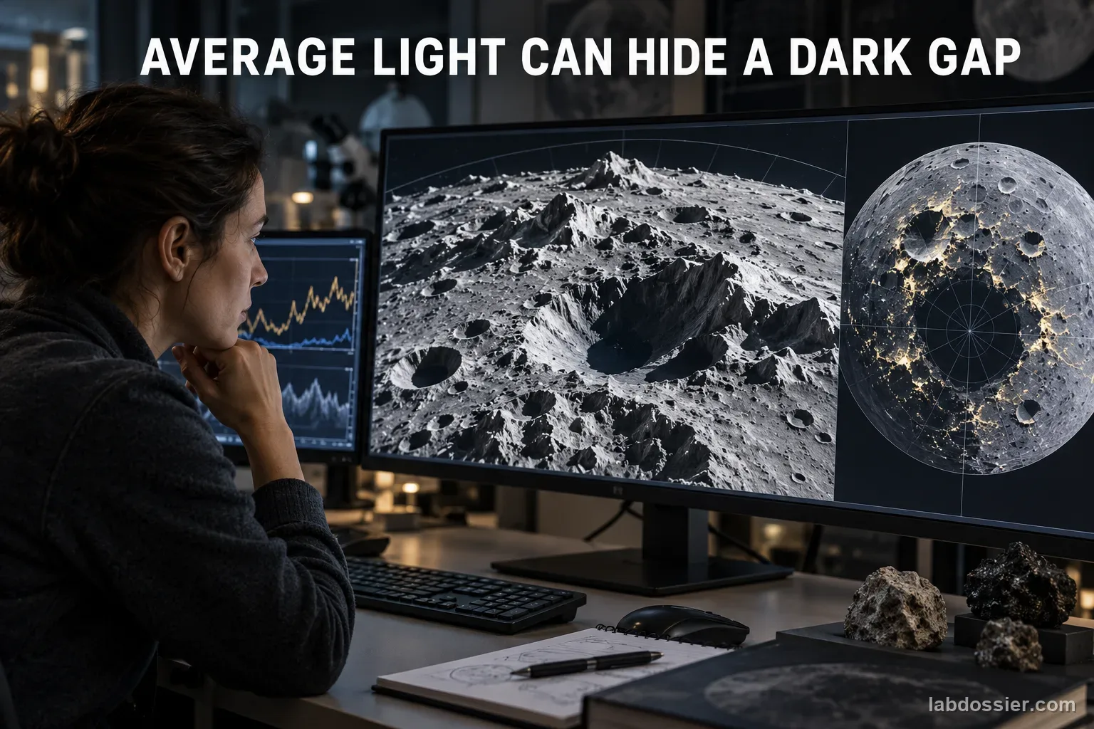
NASA's high-resolution LOLA work compares candidate regions with modeled terrain uncertainty. For its stated Jan. 1, 2024–Jan. 1, 2026 interval, the page reports Site 1 has the largest area with more than 70% average illumination at 1 m above the surface, while at 5 m above the surface Site 1 has longer continuous illumination periods than the other sites. These findings are tied to those sites, heights, data products and dates; they are not a result of this classroom experiment.
NASA's polar illumination product describes long-term maps computed over an 18.6-year lunar nutation cycle and cautions that shorter periods, higher resolution and height above the surface call for additional analysis. The time window, sampling step, terrain resolution and observation height all belong beside an illumination claim.
13 // Treat illumination as one mission input
A lander site must also satisfy slope and landing-hazard limits, communication geometry, mission timing, thermal control and available energy storage. NASA's candidate-region update weighs illumination together with terrain safety and end-to-end mission opportunity. A site that receives more light in one simplified comparison may fail another requirement.
Use the model to explain how a local ridge can interrupt a low-angle light path. Use NASA's LOLA terrain products and mission-specific analysis to compare actual locations, and name the dates, height and constraints in the result.
14 // Questions people ask
Is there a lunar peak of eternal light?
Near the poles, a few locations can receive sunlight for a large fraction of long periods, but NASA describes them as very few near-continuous locations and planning still considers dark intervals and changing seasons. Do not assume any site is permanently illuminated in every season.
Why could a higher solar panel have a different result?
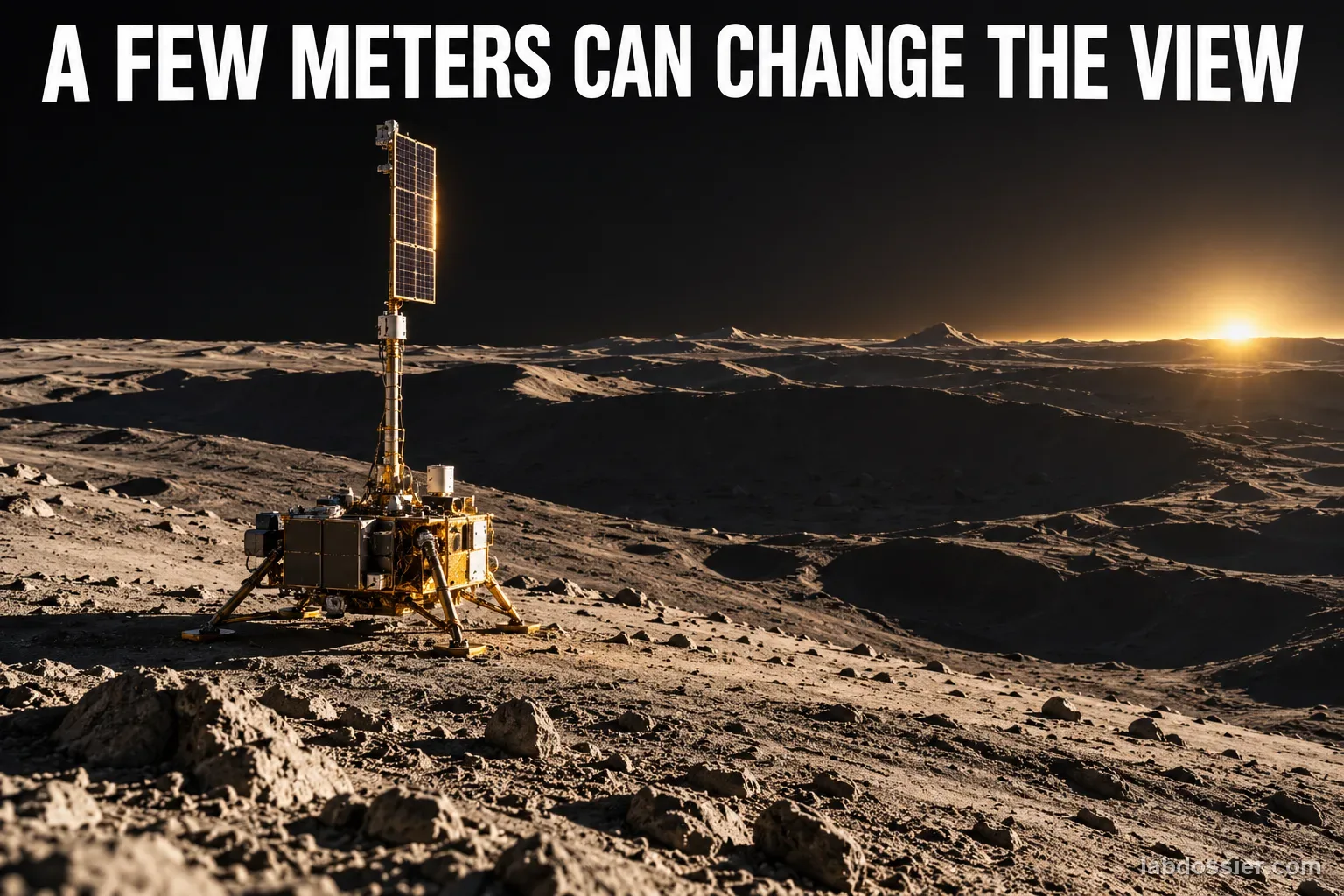
A raised point may see over part of a nearby ridge. NASA's high-resolution analysis evaluates illumination at different heights and reports that rankings and uncertainty can change with height. A classroom model's single height cannot capture this effect quantitatively.
Does the orientation with the most lit samples make the best lander site?
No. It wins only in that model sweep. Real site selection also weighs continuous light during the mission dates, terrain and slope hazards, Earth communications, landing performance and thermal needs.
Why record the longest run as well as the total?
Two orientations can have the same number of lit samples but arrange them differently. One may have a single long window; another may have several short windows separated by darkness.
Can a phone lux app measure lunar power?
No. It measures visible illumination for the phone sensor and lamp setup. It is not calibrated to lunar sunlight, solar-cell efficiency, panel orientation or stored electrical energy.
Can you explain the investigation?
Which lunar ridge orientation can keep a lander in sunlight for the longest continuous interval? · Student Data Sheet
Question: How does turning one ridge relative to a low, moving Sun change the uninterrupted light window at a fixed model lander point?
Hypothesis: If the same ridge is rotated relative to a fixed low-angle lamp path, then the marked point's longest uninterrupted lit interval may change, because the ridge blocks different portions of the lamp's path as its orientation changes, although the model represents only a simplified local horizon.
Materials
- stable turntable with one gray ridge terrain model
- compass rose marked with four ridge-axis orientations
- cool LED lamp on a fixed arm or measured circular track
- small light sensor or phone lux app
- ruler, masking tape, timer and raw-data sheet
Safety before starting
- Use only a cool LED lamp secured to a stable stand. Keep paper, hair and fabric away from the lamp; switch it off before changing its height or moving the track.
- Never look directly at the Sun or point a camera, telescope, binoculars, laser or other optics toward it. Do not use sunlight, lasers, hot lamps or concentrated optics in this model.
- Secure the ridge and turntable on a stable desk, keep cables clear of walkways, and use a teacher-approved low-voltage light sensor. Follow classroom rules when cutting or shaping terrain materials.
Lab notes
- Treat any light-sensor threshold as a classroom rule for this lamp, not as lunar solar-array output or an engineering power threshold.
- A long-term average can conceal short outages. Report the modeled interval and continuous-run metric separately from the average illumination fraction.
- NASA's current candidate-region update evaluates illumination together with seasonal timing, safe terrain, communication and mission availability; do not claim a best site based on sunlight alone.
Variables
Independent: Orientation of the same ridge model relative to the lamp's azimuth path · Dependent: Longest uninterrupted sequence of illuminated samples at the marked lander point
Keep constant: Use the same physical ridge and marked lander point, lamp, fixed low elevation, lamp-to-center distance, 16 equally spaced azimuth positions, light threshold, room lighting, sensor height and orientation, and reset rule; repeat each ridge orientation twice
Procedure
- Build one repeatable ridge and lander point: Use one fixed gray terrain model or a sculpted ridge on a turntable. Mark one lander point on the same ridge top and place a small card or light sensor there. Keep a compass rose around the turntable. Do not rebuild the ridge between orientations; only rotate the same model.
- Set one low, steady light path: Use a cool LED lamp secured at a fixed low elevation above the model. Mark 16 equally spaced lamp azimuth positions around a circular track; keep the lamp-to-center distance and height unchanged. Reduce room light and choose one visible-light threshold before collecting data. Never use sunlight, lasers, hot lamps or concentrated optics.
- Test four ridge orientations: Rotate the terrain so its main ridge axis points north–south, east–west, northeast–southwest and northwest–southeast. For each orientation, move the lamp through all 16 marked positions in the same direction and record lit or shadowed at the marked point. Return the model to the same starting mark and repeat the full sweep a second time.
- Count continuous windows, not just totals: For each sweep, count the total lit positions and the longest unbroken run of lit positions, including a run that wraps from position 16 back to position 1. Keep the individual samples; two orientations can have the same total light but different blackout gaps. If the sensor value is near the chosen threshold, mark it uncertain and repeat under the rule chosen in advance.
- Compare with NASA's measured terrain products: NASA's LOLA team models solar illumination using high-precision lunar elevation data across long time spans. Its 18.6-year averages help identify candidate locations, but NASA says shorter intervals, higher resolution and height above the surface need additional analysis. A current high-resolution site study reports that Site 1 has the most area above 70% average illumination at 1 m for its Jan. 2024–Jan. 2026 window, while continuous-light rankings can differ at 5 m. These are site- and interval-specific findings, not a universal winner.
- Name the unmodeled mission constraints: Real south-polar illumination varies with season and mission epoch; NASA's Artemis III update says peak conditions shift roughly 2–3 weeks each year. A mission also needs safe terrain, communications, power storage and thermal control. This room model does not reproduce lunar orbit, 18.6-year nutation, array tilt or tracking, slope hazards, Earth visibility, solar-cell efficiency or local regolith.
Record your observations
| Ridge axis | Sweep | Lit positions / 16 | Longest continuous lit run | Positions in run | Uncertain samples / notes |
|---|---|---|---|---|---|
The classroom model and lunar site analysis answer different questions
| Question | Classroom light sweep | NASA lunar analysis |
|---|---|---|
Answer key and expected pattern
The best model orientation depends on the ridge shape, lamp path and marked point; there is no predetermined correct winner for every model.
Total lit positions and the longest continuous run can rank orientations differently because a few short dark gaps may split the window.
NASA site rankings are specific to the terrain product, elevation, modeled dates and mission constraints. An average illumination percentage alone does not establish uninterrupted sunlight or mission suitability.
Remember: A ridge's direction can change its shadow, but a simple lamp sweep cannot choose a real lunar landing site. Report total light and longest continuous light separately, then compare only against NASA products that state their terrain resolution, height and time window.